GeoFlow
Orthophoto
Processing
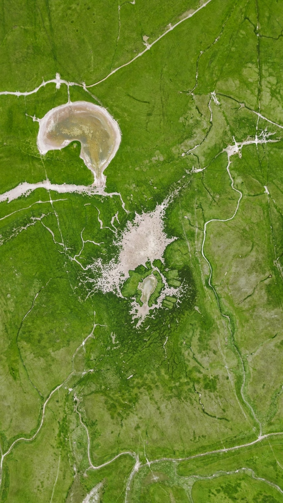
GeoFlow automates complex orthophoto production pipelines. It handles massive tile computations, mosaic generation, and color correction with distributed processing power, ensuring rapid turnaround for even the largest spatial datasets.
Seamlessly publish your processed results directly to GIS servers. GeoFlow manages the packaging and deployment of spatial layers, making them instantly available for multi-platform consumption and analysis.
MONITOR.

ANALYZE.
PREDICT.

Quality
Control
Data accuracy is mission-critical. GeoFlow automatically generates vectorel layers during the processing phase, providing users with a robust workspace for rigorous quality control (QC) and validation.
Vectorel Generation
Automated extraction and generation of vector features to assist in precision verification and mapping.
GIS Integration
Direct streaming to enterprise GIS environments for immediate visual inspection and spatial analysis.

Reliable Orchestration
Built on industry-leading workflow engines, GeoFlow provides the resilience and observability required for long-running geospatial tasks. Monitor every step of your spatial pipeline with real-time logging and failure recovery.
 Distributed task execution Automated tile-based mosaic pipelines Direct publishing to GeoServer/ArcGIS Scalable compute resource management
Request a Demo
See how GeoFlow can automate your geospatial processing and publishing workflows.